
Walking a Simi Valley Street from Address to Record
A useful street directory workflow starts with one normalized address and keeps each record type in its own lane. GIS supplies the parcel anchor, the Assessor adds property context, and the Recorder connects it to an instrument. Voter information has a separate purpose gate, while a reverse or criss-cross directory is a historical source. Follow the same order for one house or every parcel along a Simi Valley street.
- Locate the address. Confirm delivery spelling in the county GIS Viewer and capture the APN, situs, map references, and document clues.
- Check property context. Use the Assessor Property Search for characteristics and assessment information. If an owner name is absent, use its counter or request route.
- Walk the deed chain. Carry DOC_NR, DOC_DT, and DOC_TYPE to the Recorder, then compare legal description and grantor-grantee names.
- Use the voter channel correctly. The status tool verifies one voter. Address grouping belongs only to a qualified file request with a permitted purpose.
- Check older clues. Ask library reference staff about reverse directories, telephone books, yearbooks, and microfilm, recording each volume's coverage statement.
Street-Address Records in Simi Valley, Side by Side
These records can be joined by address, APN, legal description, or date, but they answer different questions. A street directory is clearest when each entry is labeled parcel, title, project, registration, or historical publisher evidence.
| Record Set | Keeper | What It Shows | Access |
|---|---|---|---|
| Parcel and GIS layer | Ventura County Public Works Agency | APN, situs, boundaries, map, and document clues | Free viewer and REST layer |
| Assessor roll | Ventura County Assessor | Assessment facts and owner or mailing information subject to rules | Web, counter, or request |
| Recorded deeds and maps | Ventura County Clerk-Recorder | Grantor, grantee, legal description, date, and instrument history | Appointment, counter, phone, or written request |
| Property-tax data | Treasurer-Tax Collector | Current, delinquent, secured, unsecured, and supplemental rolls | Individual inquiry or purchased data |
| Permits and code files | Simi Valley departments | Project, applicant, contractor, date, inspection, and address | Department search or CPRA request |
| Voter records | California SOS and Ventura elections | Registration fields for an individual or qualified purpose | Status tool or restricted request |
| Reverse directories | Local libraries and historical collections | Publisher-listed adults, addresses, phones, and older clues | Catalog, reference, or in-library use |
The APN bridges GIS, assessment, and Recorder work. The street name helps browse, but legal description and document number are safer when a subdivision, unit, annexation, or postal label changed.
Ventura GIS Converts a Simi Valley Street to Parcels
Open the Ventura County Public Works Agency GIS Viewer, search the address, zoom to parcel outlines, and use Identify. Toggle parcel, city, zoning, district, and reference layers. Click each frontage parcel, adding rear, side, corner, and flag lots when the question is a block.
The published Ventura parcel REST layer supports advanced, distance, statistics, distinct, ordering, pagination, and extraction queries. A service query is capped at 1,000 records, so broad areas need a bounded method. Distance is geographic only, and the public layer has no owner names or tax mailing addresses.
Save the retrieval date, APN, and map view. Tract, block, book, page, and parcel references help resolve splits or predecessor parcels before a deed request.
The Ventura Parcel Service Fields Behind a Street Search
A real street directory search records the field behind each clue. The Ventura parcel service exposes this schema for a Simi Valley address; these fields do not identify a person by themselves.
| Field or control | What the search supplies | Use in an address trail |
|---|---|---|
| Search by APN | One APN or an APN range in the viewer | Locks later assessor and Recorder work to the parcel identifier |
| Address and place search | Geocoded street location for map navigation | Confirms the map point before clicking the parcel |
| APN and APN10 | Parcel identity and component form | Preserves a stable key when a street format varies |
| SITUS, number, direction, street, type | Split situs components and combined address context | Separates the physical site from a mailing label |
| Tract, map, book, page, block, parcel | Legal-map and subdivision references | Bridges lot changes, map references, and older descriptions |
| DOC_NR, DOC_DT, DOC_TYPE | Latest recorded-document number, date, and type clues | Starts a focused Recorder index or copy request |
| Acreage, values, zone, district, SQ_FT_I | Physical, assessment, zoning, and improvement context | Tests whether the clicked parcel fits the intended site |
Owner name and mailing address are absent from the public GIS layer. That scope means a street-by-street result should never fill a blank owner field from an unverified source.
Situs, Tax Mailing, Title, Applicant, and Occupancy in Simi Valley
Five labels prevent address mistakes. They describe different relationships to one place, so a Simi Valley street directory keeps them separate.
- Situs address
- The physical location assigned to a parcel. It locates land, but does not identify who occupies it.
- Tax mailing address
- The destination for assessment or tax correspondence. It may be another property, business, trust, agent, or contact point.
- Title
- The recorded interest named in an instrument and legal description. Title is not proof of day-to-day occupancy.
- Permit applicant
- The person or entity tied to a project application or contractor record. It does not establish residence.
- Occupancy
- Actual use of a place by people. Parcel, title, permit, and mailing records do not supply a complete occupancy roster.
Revenue and Taxation Code sections 408 through 408.3 limit assessor access. Use the Assessor's public inspection, counter, and request channels, and state exactly which field is needed.
Walking DOC_NR into the Ventura County Deed Chain
The Ventura County Clerk-Recorder, Recorder Division holds deeds, deeds of trust, reconveyances, liens, maps, and other instruments. Its public landing page does not state an exact online grantor-grantee cutoff or every search field, so GIS DOC_NR is a starting clue, not proof that the chain is online.
Obtain the referenced instrument or most recent vesting deed. Read the legal description, recording date, document number, grantor, grantee, capacity, and related references. A grantor transfers an interest; a grantee receives it. Search the grantee as a prior purchaser, then continue with the earlier seller while checking the same lot or tract.
- Carry the APN, DOC_NR, DOC_DT, DOC_TYPE, and map references into the request.
- Use the online entry point, then schedule a public real-estate search or counter appointment if the index or image is not exposed.
- Call 805-654-3665 with the APN, parties, approximate dates, or document number when office guidance is needed.
- Use the Ventura counter at 800 S. Victoria Avenue, weekdays 8:00 to 4:45, or ask about East County, 2100 E. Thousand Oaks Boulevard, Suite A, Thousand Oaks, Monday through Thursday 8:00 to 4:00 and alternate Fridays 8:00 to 3:30. If online access stops, send a narrow written request for an existing index entry or copy.
Deeds of trust, reconveyances, quitclaims, trustee's deeds, and estate deeds need role labels so a lender, release, transfer, or filing is not mistaken for an occupant. Use the legal description and assessor-map references when an APN splits or retires.
Simi Valley Permits, City Clerk Files, and 1969 Custody
Simi Valley Planning and Building records place a project on a street by address, permit number, applicant, contractor, issue date, final inspection, or code status. They date construction and alterations, but a project participant is not a household record. Unincorporated parcels may belong to county Resource Management Agency custody.
The City Clerk is the fallback for annexation files, deeds, agreements, council minutes, resolutions, ordinances, and other municipal records. Lucy Blanco's office is at City Hall, 2929 Tapo Canyon Road, Simi Valley, California 93063; 805-583-6748; CityClerk@simivalley.org; Monday through Friday 8:00 to 5:00. The city's public-records request entry point can seek an existing permit index, card, inspection, or annexation file.
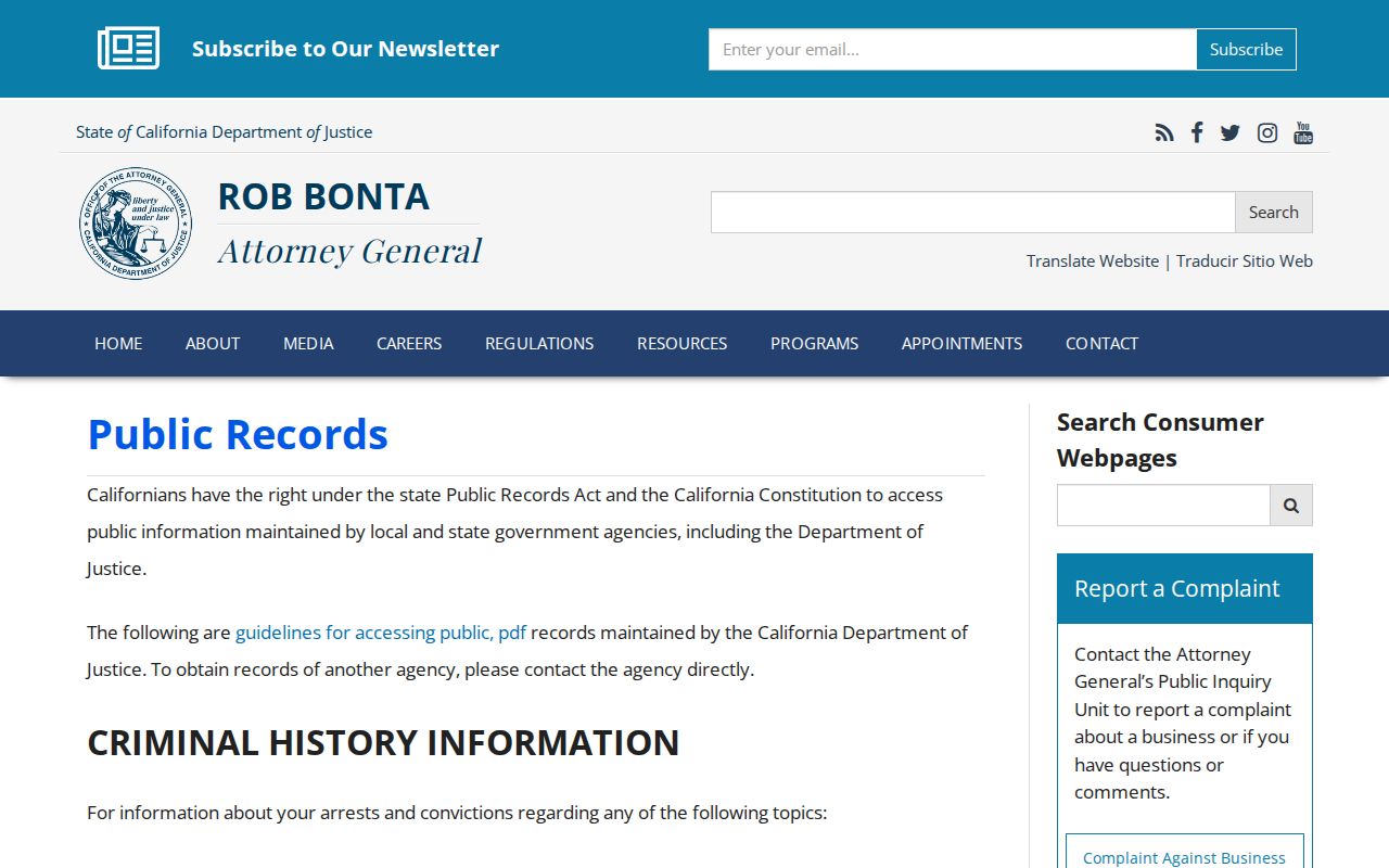
The California Attorney General's Public Records Act guidance explains the request framework for an identifiable existing agency record.
A good request names the address or APN, department, date range, record series, desired electronic format, and any segregable non-exempt portions. The agency ordinarily makes a disclosure determination within 10 calendar days and may use a limited 14-day extension for unusual circumstances.
Simi Valley incorporated in 1969. Earlier permits, roads, and land-use files were county matters; later annexations added city records. Search the jurisdiction at the event date. For events before Ventura County's separate government began in 1873, check Santa Barbara County-era, land-grant, mission, parish, probate, and cemetery sources.
How Simi Valley Street Research Uses the Assessor and Tax Collector
The Ventura County Assessor Property Search orients a parcel, shows public characteristics, and supplies the APN for a request. The ordinary web view is not an open owner-name street index. Public inspection, counter service, a records request, and a statutory data route are separate channels.
The Assessor contact is 800 S. Victoria Avenue, Ventura, 805-654-2181, assessor.info@venturacounty.gov. The separate Treasurer-Tax Collector handles individual inquiry and current, delinquent, unsecured, and supplemental data products. Its listed contact is 805-654-3744, weekdays 8:00 to 4:30.
A tax bill or mailing address is correspondence evidence, not title. The Recorder establishes conveyance, the Assessor maintains assessment information, and the Tax Collector handles tax data.
A Voter File Cannot Become a Simi Valley Street Roster
The California Secretary of State Voter Status tool verifies one voter using first name, last name, date of birth, county, and, when required, a registered identification value. It returns status and election information, not an open Simi Valley street browse.
Elections Code sections 2188, 2194, and 18109 restrict voter-file disclosure and use. A qualified requester may seek a statewide file or a specific-record file naming up to ten voters, or contact Ventura elections for permitted county products. Fields can include name, birth date, registration date, residence and mailing address, precinct, party preference, and participation history, never ballot choice. The purpose must be election, scholarly, journalistic, political, or governmental.
The listed price is $100 statewide or $30 per named voter for up to ten, capped at $100. Confirm county pricing with the Registrar at 800 S. Victoria Avenue, Ventura, 805-654-2664, elections@venturacounty.gov. A registration snapshot is not proof of continued occupancy.
Reverse Directories and the Unpublished Simi Valley Street Record
Library and archive research is the fallback when a current street directory question turns historical. Simi Valley Public Library is independent of Ventura County Library; any California resident may get a free card, while remote databases use a card and PIN. Ventura County Library describes local-history books, microfilm, and Ancestry Library Edition on branch computers. Ask both reference desks about telephone books, reverse directories, yearbooks, obituary indexes, clippings, and county volumes.
No authoritative catalog page gives a named Polk or Haines Simi Valley run, exact reverse-directory years, a first or last printed year, or a digitized entry. Do not supply an unsupported year. Ask for the printed title, publisher, edition years, coverage, call number, format, access limits, reverse section, and abbreviation key.
The Simi Valley Historical Society at Strathearn Historical Park holds pioneer photographs, letters, objects, and family material. Published access is weekdays 9:00 to 3:00 and weekends 1:00 to 4:00, with docent tours at 1:00 Friday through Sunday. Older clues still need a second source.
The Simi Valley Directory Book page covers volume-reading method without claiming an unverified local run. Preserve spelling, house number, phone treatment, and cross-reference, then compare deeds, census, newspapers, or probate.
What a Simi Valley Street Directory Cannot Show
A street directory can place a parcel, title party, tax contact, permit participant, registered voter record, or publisher-listed adult in a narrow context. It cannot establish every occupant, minors, household relationships, utility or delivery customers, private rosters, or a protected participant. A deed proves an interest on a date; a permit proves a project role; a voter record is only a permitted snapshot.
Lawful use. Simi Valley street and address records support personal history, family research, property curiosity, and civic record work. California Penal Code section 646.9 and related harassment rules matter when a search becomes stalking, intimidation, or unwanted tracking; do not use a street directory to stalk, harass, or harm anyone.
When a question shifts from a street to one person, use the narrowest official record and a second date, address, or role. For adjacent parcels, define the block and use the neighbors workflow rather than treating a street range as proof of occupancy.